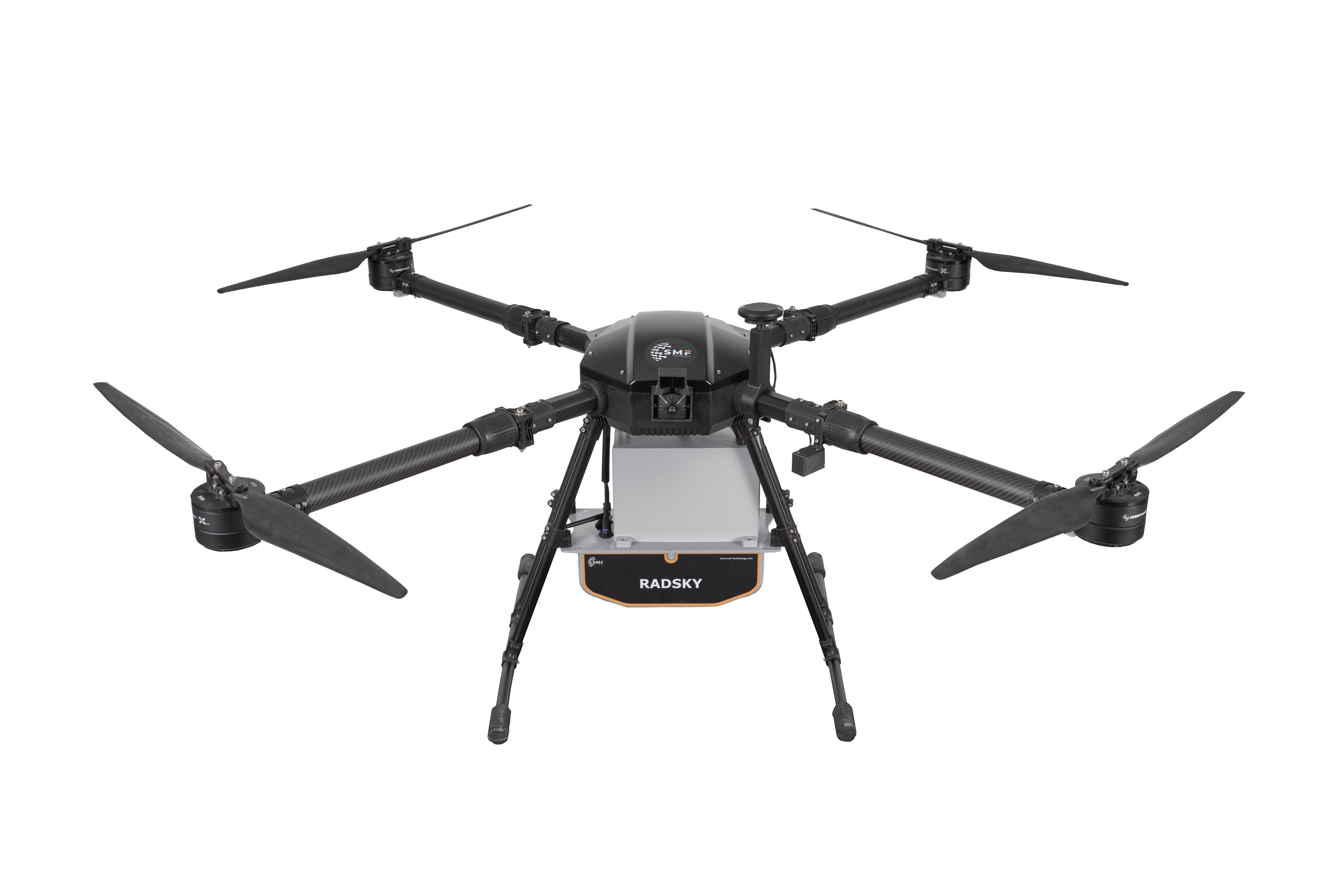
RADSKY is an advanced radiation measurement system that measures, analyzes, and securely transmits data on radiological and nuclear (gamma and neutron) threats in real time, independently of human involvement, via an unmanned aerial vehicle (drone).
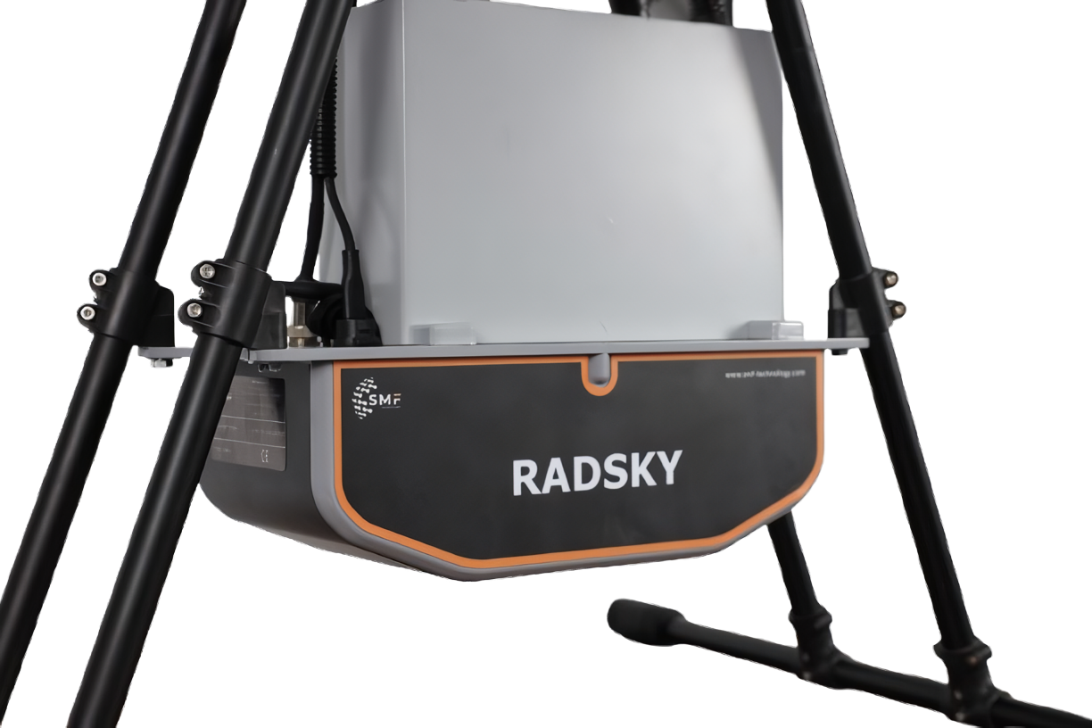
Thanks to its integrated 1024–4096-channel MCA structure, the system is capable of identifying various radioisotopes with high energy resolution. This enables not only dose rate measurement but also the detection of potential radiation sources.
RADSKY provides a safe and effective means of performing radiological and nuclear measurement processes in challenging and hazardous areas. With a payload capacity of 10 kg, a flight time of up to 30 minutes, and a coverage area of 7 km², it can carry out comprehensive scans along planned routes. Thanks to its backup battery system, it can be quickly redeployed to continue monitoring activities in additional areas.
Thanks to its integrated GNSS RTK module with 2.5 cm accuracy, it can mark potential hazards on a map with high positional precision and transmit detailed reports to the central system. Additionally, its integrated cameras capture visual records of the measured areas, ensuring comprehensive documentation of the data. With its LiDAR-based obstacle avoidance technology, it provides safe operational capability for the user even in complex terrain and in the presence of obstacles.
The radiation performance tests of the RADSKY system are conducted in ISO/IEC 17025 accredited laboratories in compliance with the IEC 60846-1, IEC 60532, and IEC 62327 standards.